
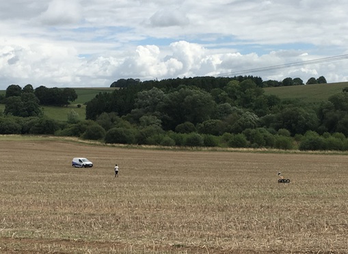
Earlier on today,we noticed that Wiltshire Archaeology were back in the recently harvested field between the Berwick St James road and the River Till. When they were last there, back in the spring before the Oilseed Rape had even sprouted, they were conducting a magnetometer survey to see if there was anything of interest in the ground that could impact on plans for a southern bypass route for Winterbourne Stoke. Today, they had upped the ante, and were using ground penetrating radar (GPR) – a technique that can, depending on the terrain and soil composition, look deeper in the ground than magnetometry and also establish the depth of buried archaeology.
We have to ask ourselves: “Why?”
Speculation is all we have for the moment, which isn’t ideal, but there would seem to be two likely situations. First, that the magnetometer survey found nothing and the GPR survey is something of a belt and braces activity to double-check; as once covered by a dual carriageway if the Southern route was selected, it wouldn’t be possible to look again. So it’s being done for completeness.
Second, the magnetometer survey found something interesting and they are now back for a more detailed look. Time will tell.
The only certainty is, that along with all the other archaeology and environmental surveys for both the northern and southern routes that have been undertaken on behalf of Highways England for the A303 Stonehenge to Berwick Down Scheme, all the results SHOULD be made public.